Back to selected work

Archaeology community

Relic Atlas
case study.

An archaeology community platform mapping Britain's finds with member dashboards and LiDAR-backed discovery tools.

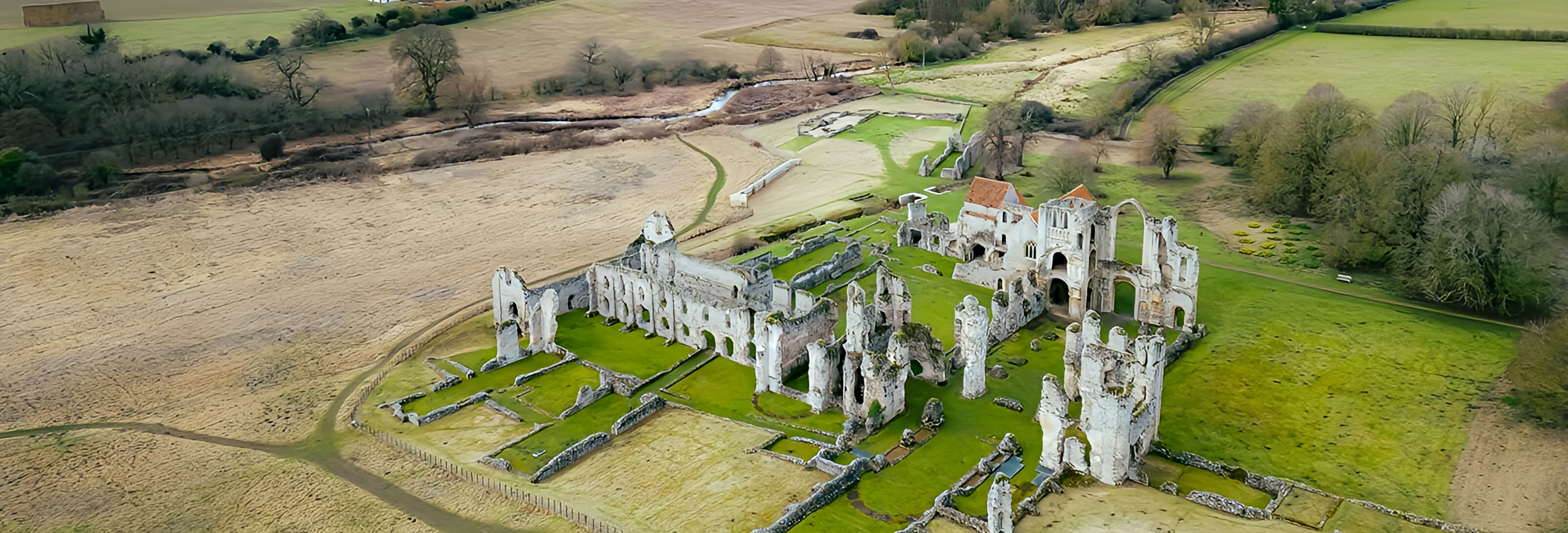
Relic Atlas interface and project preview
4Core technologiesFullCase studyUXUser focusedWebResponsive

Why Relic Atlas needed to exist.

Finds, geographic context and LiDAR evidence are often scattered across specialist sources.

A map-centered community platform brings discoveries, member tools and LiDAR-backed exploration into one research experience.

Who it serves

Archaeologists, detectorists and communities researching historical finds in Britain.

Business value

Creates a differentiated research community and makes specialist geographic data more accessible.

Designed around the essential workflow.

01

Interactive discovery maps

Designed as part of a cohesive archaeology community experience, with clarity, reliability and practical use in mind.

02

Member dashboards

Designed as part of a cohesive archaeology community experience, with clarity, reliability and practical use in mind.

03

Find documentation

Designed as part of a cohesive archaeology community experience, with clarity, reliability and practical use in mind.

04

LiDAR-supported research

Designed as part of a cohesive archaeology community experience, with clarity, reliability and practical use in mind.

Value for users and the business.

Connects data with place

Supports community knowledge

Improves research discovery

Built with constraints in view.

Large map layers require optimization

Sensitive site locations may require protection

ReactNode.jsMapsLiDAR
01

Discover

Understand the users, business objective and constraints.

02

Design

Map the core journey and reduce unnecessary interaction.

03

Build

Implement maintainable interfaces, services and data flows.

04

Validate

Test behavior, responsiveness and failure paths before release.

Project by Sandipan Das

Have a similar
problem to solve?

Start a conversation View live project